THE ADVENTURE COLLECTIVE FIELD NOTES
A closer look at the journey.
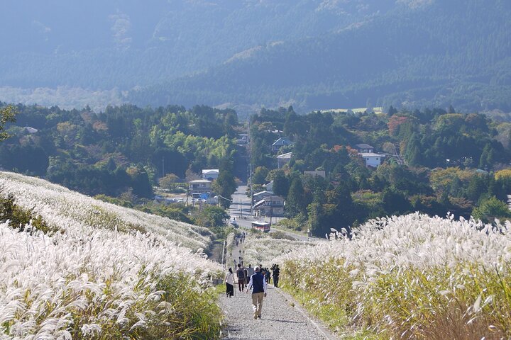
A cool mountain air greets you at Hakone Yumoto Station, cedar trunks slicing the light as you step off the platform and onto the old Tokaido corridor. The path rises and falls like a weathered spine; underfoot are cobbles worn by centuries of travellers. Lake Ashi appears beyond a rim of trees—its surface flat and wide, and on clear mornings Mt. Fuji stamps the skyline in distant white.
The Hakone Hachiri is a preserved section of the Edo-period route connecting Edo (Tokyo) and Kyoto. Geologically, the trail skirts volcanic slopes carved by past eruptions, producing steep drains and fertile volcanic soils that feed tea gardens and cedars. Culturally the route is threaded with checkpoints, tea houses and shrines—Amasake Tea House still serves the sweet rice drink that restored weary legs for 400 years.
Expect roughly 8 km of walking broken into several segments, with short steep pitches and stairway drops; the operator supplements the route with local buses to avoid unsafe or closed sections. Highlights include a cedar avenue whose shade darkens the day, the Heiwa no Torii at Lake Ashi’s shore, Yamanaka Castle ruins, and a closing stroll through Mishima with Genbe River and Mishima Taisha.
Practical: moderate fitness, sturdy footwear, and layered rain protection. Carry 1–2 liters of water, small cash for buses and shrine donations, and allow a full day (around 6–7 hours) to move at an unhurried pace. Weather can hide Fuji—plan for flexible views and enjoy the walk itself.
Things to know before you go
Plan for mixed terrain
Expect cobblestones, forest tracks and short stairways—sturdy hiking shoes with good grip make the day far more comfortable.
Bring local currency
Small buses, shrine donations and snacks are cash-friendly; carry a few thousand yen for ease.
Start early for Fuji views
Morning often brings the clearest views of Mt Fuji from Lake Ashi and castle viewpoints—aim to be at the lake before late morning haze.
Hydrate and pace on slopes
There are short steep sections despite bus detours—sip regularly and take breaks on ridge viewpoints.
Your questions, answered.
How far do we walk and how long does it take?
Total walking is about 8 km spread across the day; with stops, transfers and lunch expect roughly 6–7 hours.
Will I see Mt Fuji?
Mt Fuji is visible from several viewpoints on clear days—visibility depends on weather and season, with mornings usually best.
Are there difficult climbs?
There are short steep sections and stairs; the itinerary uses local buses to bypass the steepest or closed stretches, keeping the route moderate.
Is the hike suitable for children or older adults?
Participants should have moderate fitness; children and seniors who are steady on uneven ground can join but check mobility and stamina beforehand.