THE ADVENTURE COLLECTIVE FIELD NOTES
A closer look at the journey.
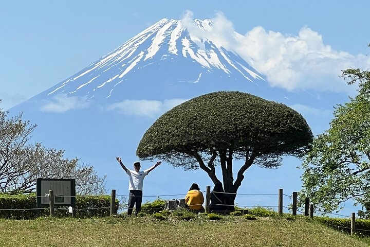
You step onto centuries-old stones beneath cedar shade, the Old Tokaido road curving uphill as mountain air tightens around you. The trail carries the echo of wooden sandals and samurai processions; moss edges the paving stones and the forest seems to push you forward toward sweeping views of Lake Ashi and, on clear days, Mt. Fuji.
This guided route threads history and craft: the Old Tokaido was the main Edo-period artery linking Tokyo and Kyoto, used by daimyo on sankin-kotai pilgrimages. Geologically, Hakone sits on a volcanic caldera, and the trail’s rises and dips reflect ash-laden soils and ancient lava terraces. Cultural stops include Hatajuku, known for Yosegi zaiku marquetry, and Amasake Chaya, a teahouse that served travelers in the same sweet rice drink once brewed for wayfarers. The finale is Moto-Hakone: the lake, the shrine, and the torii that appears to float at the water’s edge.
Practical guidance: expect about five hours total including transport and stops — plan on roughly 3–3.5 hours of walking across stone-paved sections and mixed forest singletrack with modest climbs (total ascent ≈200–300 m). Trails can be slick after rain; good traction and layers matter. Bring water, cash for small shops, and a respectful pace at sacred sites. Photography windows for Mt. Fuji are weather-dependent and often open early morning. Above all, stay on the preserved path to protect fragile moss and shrine approaches while you soak in a walk that is equal parts nature, history, and craft.
Things to know before you go
Wear grippy footwear
Stone pavement and forest tracks get slippery when wet—sturdy hiking shoes with good tread reduce fall risk.
Carry water and cash
Small teahouses accept cash and water sources are limited on the trail; bring at least 1–1.5 L per person.
Time for Mt. Fuji views
Clear skies in the morning improve chances of seeing Mt. Fuji from Moto-Hakone; plan the hike early if views are a priority.
Respect shrine etiquette
When visiting Hakone Shrine, remove hats, speak quietly and leave offerings or photos unobtrusively to preserve the site.
Your questions, answered.
Where is the meeting point for the tour?
Most tours meet at Hakone-Yumoto Station; you'll take a short bus to the trailhead before beginning the walk.
How difficult is the walking terrain?
The route follows preserved stone pavement and forest track with modest elevation gain—suitable for walkers with moderate fitness but not for those with serious mobility issues.
Will I definitely see Mt. Fuji?
No—Mt. Fuji visibility depends on weather and air clarity; mornings and cooler seasons offer the best chances for a clear view.
Are there restroom and refreshment options?
Yes—there are teahouse stops such as Amasake Chaya and small shops in Hatajuku, but bring cash and essentials as facilities are limited on the trail.