

VAYCAI · ATTRACTION GUIDE
Utah Scenic Byway 279 Rock Art Sites Visitor Guide
A short, dramatic drive out of Moab rewards you with concentrated panels of ancient rock art, rippling slickrock, and canyon-edge views of the Colorado River. Stack this easy scenic drive with a river float, nearby hiking or mountain biking loops, and sunset photography at roadside overlooks for a half- or full-day outing that feels both mellow and elemental.
Colorado RiverCanyonlands National ParkLa Sal MountainsBureau of Land Management Lands
Explore experiences ↓Your guide to places, experiences, and adventures.
Get to know the place
Attractions worth a closer look.
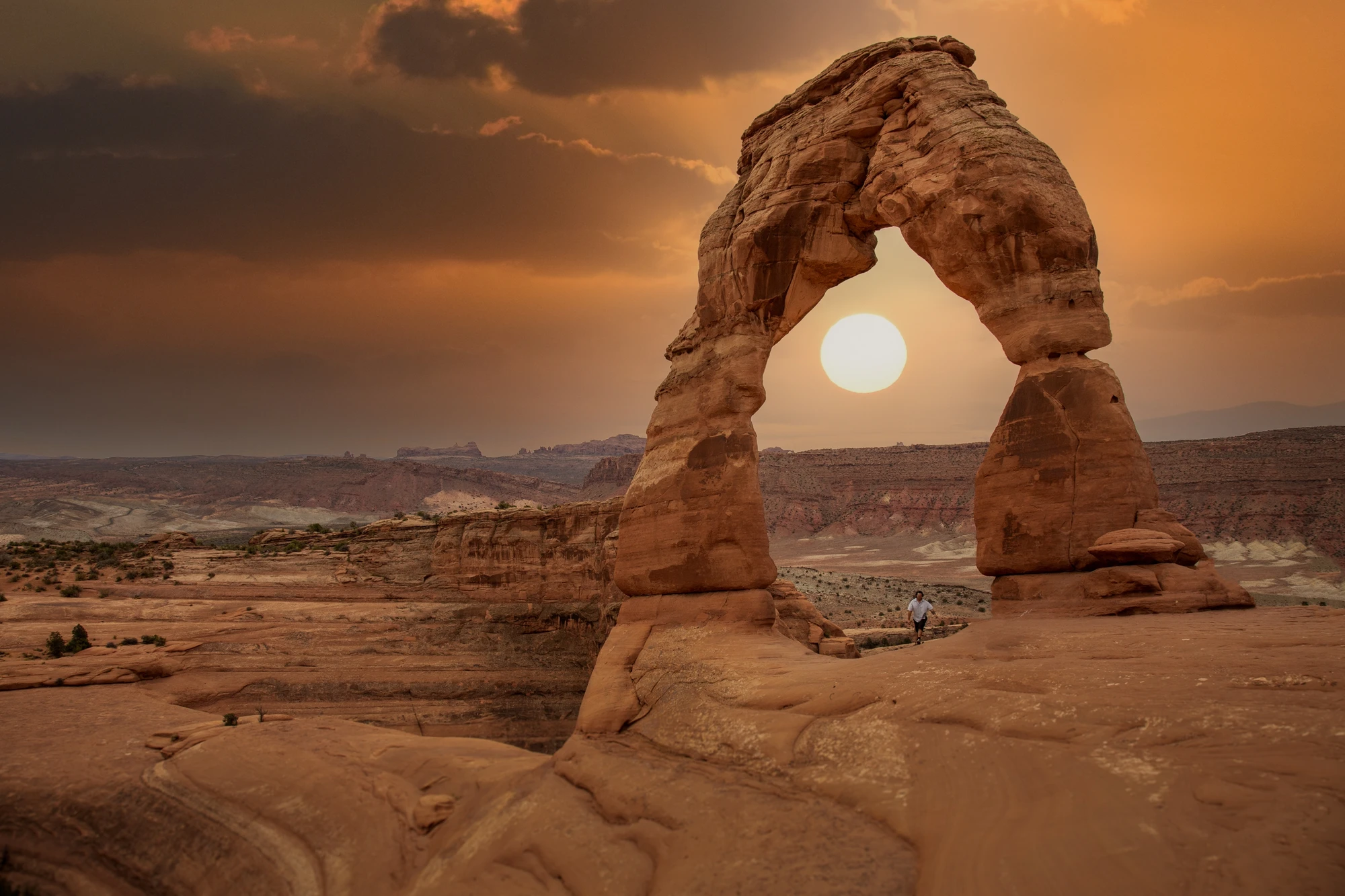
ATTRACTION
Moab, Utah, United States
Explore this place ↗
ATTRACTION
Cataract Canyon
Explore this place ↗
ATTRACTION
La Sal Mountains
Explore this place ↗
ATTRACTION
Corona Arch, Moab, Utah, USA
Explore this place ↗
ATTRACTION
Sand Flats Recreation Area
Explore this place ↗
ATTRACTION
Fisher Towers, Moab, Utah, United States
Explore this place ↗
ATTRACTION
Hell's Revenge Trail, Moab, Utah, USA
Explore this place ↗
ATTRACTION
Mill Canyon Dinosaur Trail
Explore this place ↗
ATTRACTION
Moab, Utah, USA
Explore this place ↗
ATTRACTION
Dead Horse Point State Park, Moab, Utah, United States
Explore this place ↗
ATTRACTION
Westwater Canyon
Explore this place ↗
ATTRACTION
Moab
Explore this place ↗
ATTRACTION
Canyonlands National Park
Explore this place ↗THE GOOD STUFF STARTS HERE
Experiences in Moab.

Moab, United States
Raven's Rim Red Rock Challenge: Moab Via Ferrata, Ropes & Bridge Jump
from $179USD

Moab, United States
Edge of Canyonlands Helicopter Tour — Island in the Sky Aerial Flight (45 min)
from $598USD
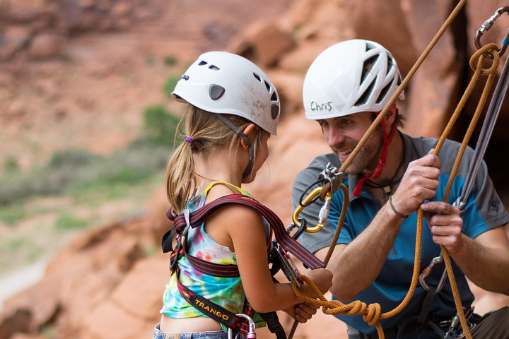
Moab, United States
Half-Day Rock Climbing in Moab: Beginner to Advanced Sandstone Routes
from $200USD
Read our guide →Booking unavailable


Moab, United States
Full-Day Fisher Towers Rafting from Moab: Family-Friendly Colorado River Whitewater
from $165USD
Read our guide →Booking unavailable

Moab, United States
Moab Half-Day Colorado River Rafting Through the Fisher Towers
from $115USD
Read our guide →Booking unavailable
Listed starting prices may vary by option, travel date and group size. Confirm the final total and availability on Viator. Sponsored links: we may earn a commission from qualifying bookings.
GET TO KNOW THE PLACE
Why Visit Utah Scenic Byway 279 Rock Art Sites
A narrow ribbon of asphalt leads you from Moab into redrock quiet where carved hands and spirals hold a conversation with the landscape. The byway makes precontact history immediately readable: panels sit within reach of the road, framed by cliffs and the glint of the Colorado River below. It is a place to slow down, study, and stack short adventures—walks, drives, and river outings—into a single memorable day.
The rock art along Utah Scenic Byway 279 is set against classic Colorado Plateau geology: layers of sandstone folded into slickrock benches, abrupt canyon rims, and meandering river terraces. Over thousands of years the desert has worn a palette of ochre and red across the cliffs and the river has nudged the canyon deeper; the petroglyphs and pictographs are etched and painted onto this canvas. Knowing a bit of the geology helps the visit feel grounded: the panels often occupy sheltered alcoves or vertical faces where the rock resists erosion, and those micro-environments are where you’ll find the most concentrated imagery. Approach with curiosity and care—the images are fragile cultural records, and they reward a patient eye.
Access is unusually straightforward for this part of the desert. The byway is paved and suitable for most vehicles, with pullouts for the main art panels and viewpoints. That ease of access means you can design a short stop or stretch it across a full day by adding a river float on the Colorado, a guided archaeology talk in Moab, or a mountain bike session on nearby BLM slickrock. Plan to start early in spring and fall to avoid midday heat, and allocate extra time for stops—the art panels invite slow looking, and light and shadow transform the rock through the day. Bring printed or offline maps; cell service can be intermittent and the route has few facilities.
Cultural context and etiquette should guide every visit. Much of the art was created by ancestral Puebloans and other native peoples; treat panels as non-touch exhibits and photograph respectfully without using flash near pigment. Dogs should remain in vehicles or on short leashes at pullouts to prevent damage. If you want a deeper understanding, local guides and interpretive resources in Moab provide archaeology-savvy perspectives that enrich the roadside view. Finally, weather is an active participant: summer storms can roll in quickly, and winter freezes can make surfaces slick—dress in layers and read the sky.
PLAN YOUR VISIT
When to go.
Best months
April, May, September, October
Weather
Spring and fall bring mild daytime temperatures and long golden light for photography; summer can be hot with afternoon thunderstorms, and winter delivers quieter roads with cold nights and possible icy patches. Expect big diurnal swings.
Peak season
Busiest periods are spring and fall when conditions are ideal; plan to arrive early in the day and reserve accommodations in Moab in advance to avoid sold-out weekends.
Beyond the peak
Winter offers solitude, lower rates, and stark, low-angle light, but exercise caution—mud, ice, and colder river conditions require route adjustments and appropriate clothing.
PACK WITH PURPOSE
What to bring.
optional
- Binoculars for distant views
- Action camera or tripod for photography
- Picnic kit for roadside lunches
essential
- 2–3 liters of water per person
- Sun protection (hat, sunglasses, SPF)
- Sturdy traction footwear for rocky short walks
- Layered clothing for temperature swings
- Offline map or downloaded route directions
- Basic first-aid supplies
recommended
- Light rain shell or wind layer
- Headlamp or flashlight for early starts
- Trekking poles for rough approaches
- Dry bag if adding a river trip
FIND YOUR PACE
Choose your kind of adventure.
advanced
Advanced travelers combine technical river runs, full-day bike expeditions, or extended desert navigation beyond the main pullouts.
- Technical whitewater runs on the Colorado River (guided recommended)
- Long-distance mountain biking across remote slickrock terrain
- Backcountry route-finding and multi-day desert excursions
beginner
Low-effort, high-reward roadside access makes this ideal for beginners wanting short walks, photography, and cultural discovery.
- Short interpretive strolls to roadside rock art panels
- Scenic drive with multiple pullout viewpoints
- Sunset photography sessions at an overlook
intermediate
Stack the drive with medium-effort activities like half-day river floats or nearby trail loops for hiking or biking.
- Half-day Colorado River float paired with pullout stops
- Guided archaeology talk in Moab then self-led walks
- Mountain bike loops on nearby BLM slickrock trails
BEFORE YOU GO
Your questions, answered.
Do I need a guide to see the rock art along Byway 279?
No, the main panels are roadside and accessible without a guide, but a guided tour adds archaeological context and deeper cultural interpretation if you want more insight.
Is the byway suitable for all vehicles?
The byway itself is paved and fine for most cars, but some pullouts and side tracks are unpaved; standard vehicles can access the main overlooks, while high-clearance vehicles help for remote detours.
How much time should I allocate for a visit?
Build at least a half-day to drive, stop at several panels, and take a short walk or two; a full day lets you add a Colorado River float, photography sessions, or nearby trails.
Is touching or photographing the petroglyphs allowed?
You may photograph for personal use, but avoid touching, tracing, or climbing on panels; flash is not recommended near fragile pigments and always follow posted site rules.
What safety concerns should I prepare for?
Bring ample water, sun protection, and layered clothing; watch for sudden weather changes, avoid cliff edges, and be mindful of vehicle traffic at pullouts.
Can I combine this route with other Moab activities?
Yes—this byway pairs well with Moab’s hiking, mountain biking, and river-based activities; sequence visits to catch morning or evening light and check availability for guided floats and rentals.