

VAYCAI · ATTRACTION GUIDE
Hell's Revenge Trail Visitor Guide
Hell's Revenge is a playground of slickrock ridges and canyon rims where off-road runs, short hikes, and mountain-bike lines stack into a single adventurous day. Pair a sunrise drive or guided Jeep tour with afternoon hikes along slick sandstone and an evening at a Colorado River overlook for a balanced Moab outing.
MoabSlickrock CountryColorado RiverArches National ParkCanyonlands National Park
Explore experiences ↓Your guide to places, experiences, and adventures.
Get to know the place
Attractions worth a closer look.
ATTRACTION
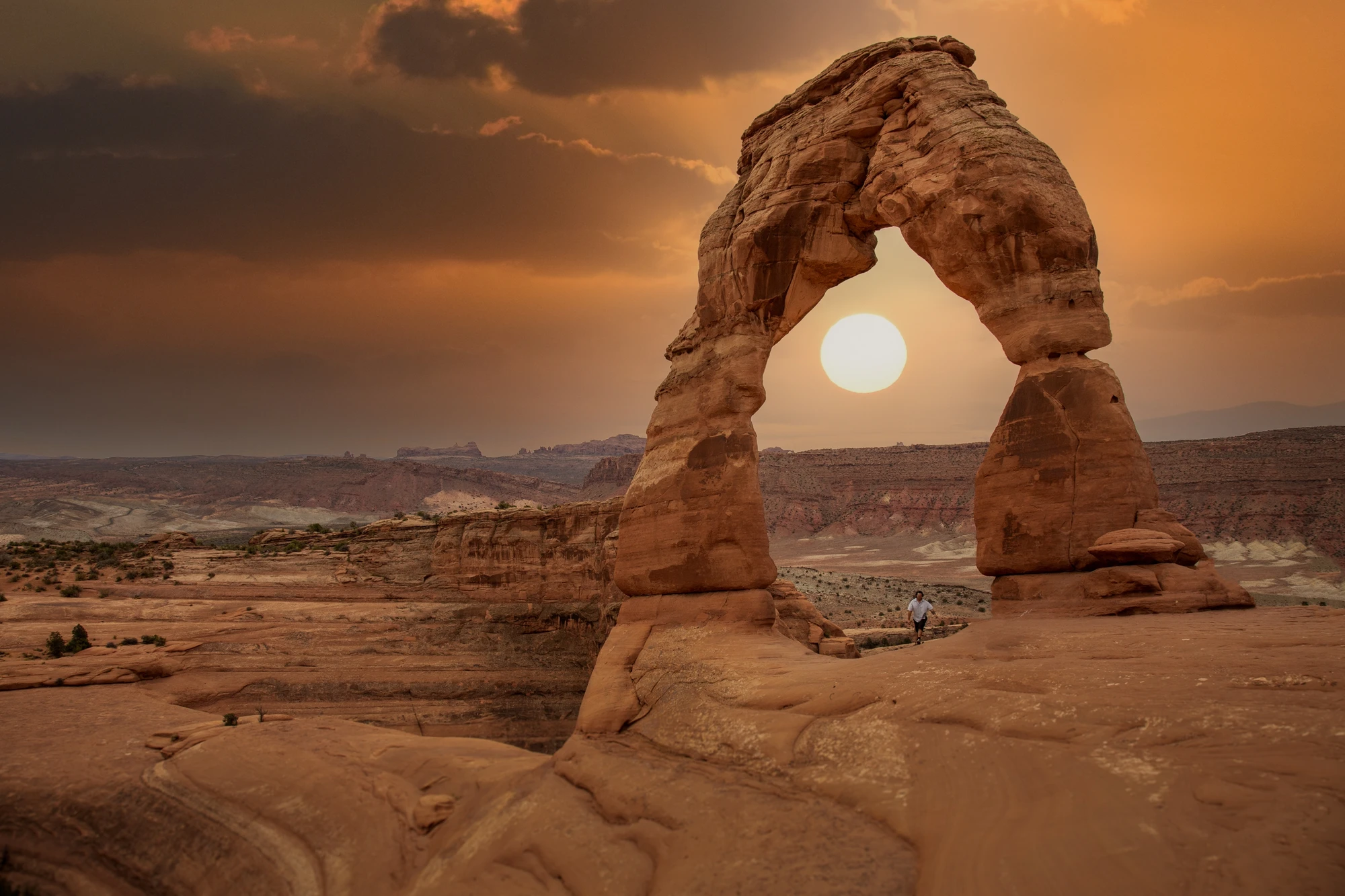
Moab, Utah, United States
Explore this place ↗
ATTRACTION
Cataract Canyon
Explore this place ↗
ATTRACTION
La Sal Mountains
Explore this place ↗
ATTRACTION
Corona Arch, Moab, Utah, USA
Explore this place ↗
ATTRACTION
Sand Flats Recreation Area
Explore this place ↗
ATTRACTION
Fisher Towers, Moab, Utah, United States
Explore this place ↗
ATTRACTION
Utah Scenic Byway 279 Rock Art Sites
Explore this place ↗
ATTRACTION
Mill Canyon Dinosaur Trail
Explore this place ↗
ATTRACTION
Moab, Utah, USA
Explore this place ↗
ATTRACTION
Dead Horse Point State Park, Moab, Utah, United States
Explore this place ↗
ATTRACTION
Westwater Canyon
Explore this place ↗
ATTRACTION
Moab
Explore this place ↗
ATTRACTION
Canyonlands National Park
Explore this place ↗THE GOOD STUFF STARTS HERE
Experiences in Moab.

Moab, United States
Raven's Rim Red Rock Challenge: Moab Via Ferrata, Ropes & Bridge Jump
from $179USD

Moab, United States
Edge of Canyonlands Helicopter Tour — Island in the Sky Aerial Flight (45 min)
from $598USD
Moab, United States
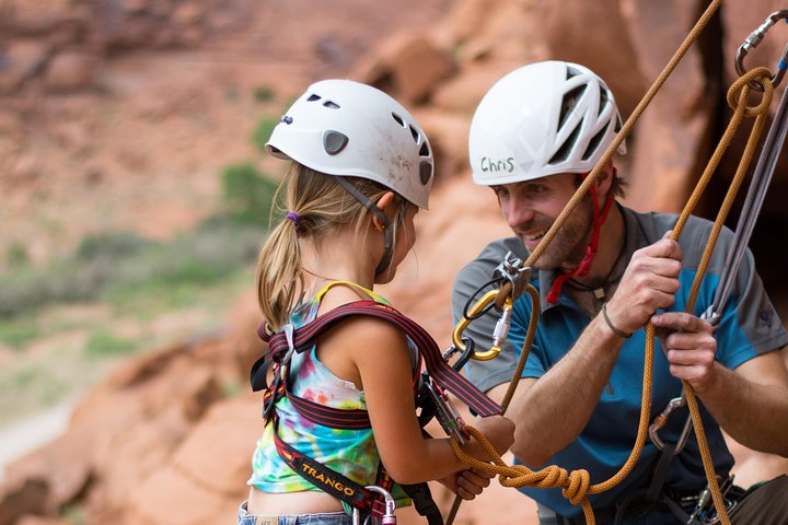
Half-Day Rock Climbing in Moab: Beginner to Advanced Sandstone Routes
from $200USD
Read our guide →Booking unavailable


Moab, United States
Full-Day Fisher Towers Rafting from Moab: Family-Friendly Colorado River Whitewater
from $165USD
Read our guide →Booking unavailable

Moab, United States
Moab Half-Day Colorado River Rafting Through the Fisher Towers
from $115USD
Read our guide →Booking unavailable
Listed starting prices may vary by option, travel date and group size. Confirm the final total and availability on Viator. Sponsored links: we may earn a commission from qualifying bookings.
GET TO KNOW THE PLACE
Why Visit Hell's Revenge Trail
The trail cuts through Moab’s signature red slickrock with sudden drops and sculpted bowls that feel alive underfoot and tire. It’s an elemental experience: wind-sanded sandstone, open sky, and ridgelines that invite a steady, playful approach. For travelers who like to layer activities, Hell’s Revenge pairs perfectly with river time, park hikes, and evening photography sessions.
Park the car and listen: the slickrock seems to shift with the light, throwing long shadows across bowls and ledges. Geologically, Hell's Revenge is a surface expression of the Entrada Sandstone—old dunes cemented into broad, curving slabs. That rock resists erosion where it’s tilted, creating the knife-edge ridgelines and smooth faces that attract off-roaders and riders. Human history here is quieter but present: BLM-managed lands and routes that hold decades of local off-roading tradition, balanced now with increasing attention to conservation and responsible route use.
Practically, plan your day around temperature and traction. Spring and fall mean friendly daytime highs and great shoulder-season access; summer brings heat that will push all activity into mornings or evenings. The trail itself is variable—sections are runnable by confident drivers and riders, but stock vehicles can be challenged by steep faces and, when wet, dangerously slick stone. Guided operators run regular tours from Moab if you prefer not to pilot a vehicle yourself, and organized rentals can supply appropriate tires and equipment. Bring a full day’s water, a simple route plan, and the expectation that conditions can change quickly.
Culturally, Moab is a busy little hub—outdoor guides, bike shops, and outfitters line the town and make logistics easy: rentals, shuttles, and guided Jeeps are all on offer. For a day plan, aim for sunrise on the slickrock to dodge crowds, spend mid-morning on a scenic run or guided loop, break for a river-side lunch, and finish with a short hike or viewpoint near Arches. Respect BLM signage, stay on designated routes, and give vehicles and hikers wide berth. The payoff is the kind of desert exposure that makes you aware of scale: the distant La Sal Mountains hold the skyline while stone keeps its patient work.
PLAN YOUR VISIT
When to go.
Best months
March, April, May, September, October
Weather
Spring and fall offer mild daytime temperatures and clear skies; summer is hot with afternoon storms possible; winter can be cold with occasional ice on slickrock. Check forecasts and plan activities by temperature window.
Peak season
Peak visitation occurs in spring and fall when weather is most comfortable; book lodging and guided experiences in advance and start activities early to avoid midday crowds.
Beyond the peak
Winter brings fewer visitors and lower prices, offering quiet trails and empty viewpoints, but watch for icy slickrock and limited services—choose routes carefully and layer for cold conditions.
PACK WITH PURPOSE
What to bring.
optional
- Binoculars for distant canyon views
- Action camera or tripod
- Compact picnic kit
essential
- 2–3 liters of water per person (more in summer)
- Sun protection (hat, sunscreen, sunglasses)
- Sturdy traction footwear or riding shoes
- Layered clothing for temperature swings
- Offline map or GPS and a charged phone
recommended
- Rain shell or wind layer
- Headlamp or small flashlight
- Trekking poles or handlebar repair kit
- Dry bag for electronics
FIND YOUR PACE
Choose your kind of adventure.
advanced
Advanced adventurers tackle technical 4x4 obstacles, steep bike lines, and full-day overland plans that test gear and navigation.
- Technical 4x4 lines requiring spotters and recovery gear
- Advanced mountain biking on exposed, steep slickrock
- Multi-stop overland routing combining Hell's Revenge with nearby backcountry
beginner
Beginner travelers can enjoy scenic drives, short viewpoint hikes, and easy photography stops without technical equipment.
- Sunrise scenic drive across smooth slickrock
- Short, guided viewpoint walks near trailheads
- Photography stops at skyline humps
intermediate
Intermediate visitors will mix self-guided off-road sections with moderate hikes and technical mountain-bike lines.
- Self-guided 4x4 runs over moderate slickrock features
- Half-day mountain biking on designated slickrock routes
- Extended hikes to overlook canyon views
BEFORE YOU GO
Your questions, answered.
Do I need a permit to access Hell's Revenge?
No general permit is required for most recreational access, but check BLM notices, seasonal restrictions, and any special event closures before you go.
Can I drive Hell's Revenge in a stock vehicle?
Some sections are technical; a high-clearance vehicle with off-road capability is recommended. If unsure, book a guided Jeep tour or rent an appropriate vehicle with local operator support.
Is Hell's Revenge suitable for mountain biking and hiking?
Yes—there are rideable slickrock sections and short hiking lines, but terrain can be steep and exposed; riders and hikers should have traction skills and carry water.
How long should I plan for a visit?
Plan a half-day for a quick scenic run or guided loop, and a full day if combining multiple activities, photography stops, or longer hikes.
How do I get there from Moab?
Access is by dirt roads managed by the BLM; most visitors drive from Moab in a high-clearance vehicle or join a guided tour—verify route signage and road conditions before departing.
What weather or safety concerns should I watch for?
Heat, sun exposure, and slickrock when wet are the main hazards. Carry extra water, check weather for storms, and avoid slickstone after rain to reduce slip and vehicle recovery risk.