

VAYCAI · ATTRACTION GUIDE
La Sal Mountains Visitor Guide
The La Sal Mountains rise like a cool shoulder from the red desert around Moab, offering alpine trails, glacial lakes, and a quick escape from canyon heat. Stack a morning ridge hike or mountain-bike loop with an afternoon drive down to the Colorado River for paddling or a sunset at Arches—each element layers a different kind of terrain and tone into one compact, varied trip.
MoabLa Sal MountainsManti-La Sal National ForestColorado RiverArches National Park
Explore experiences ↓Your guide to places, experiences, and adventures.
Get to know the place
Attractions worth a closer look.
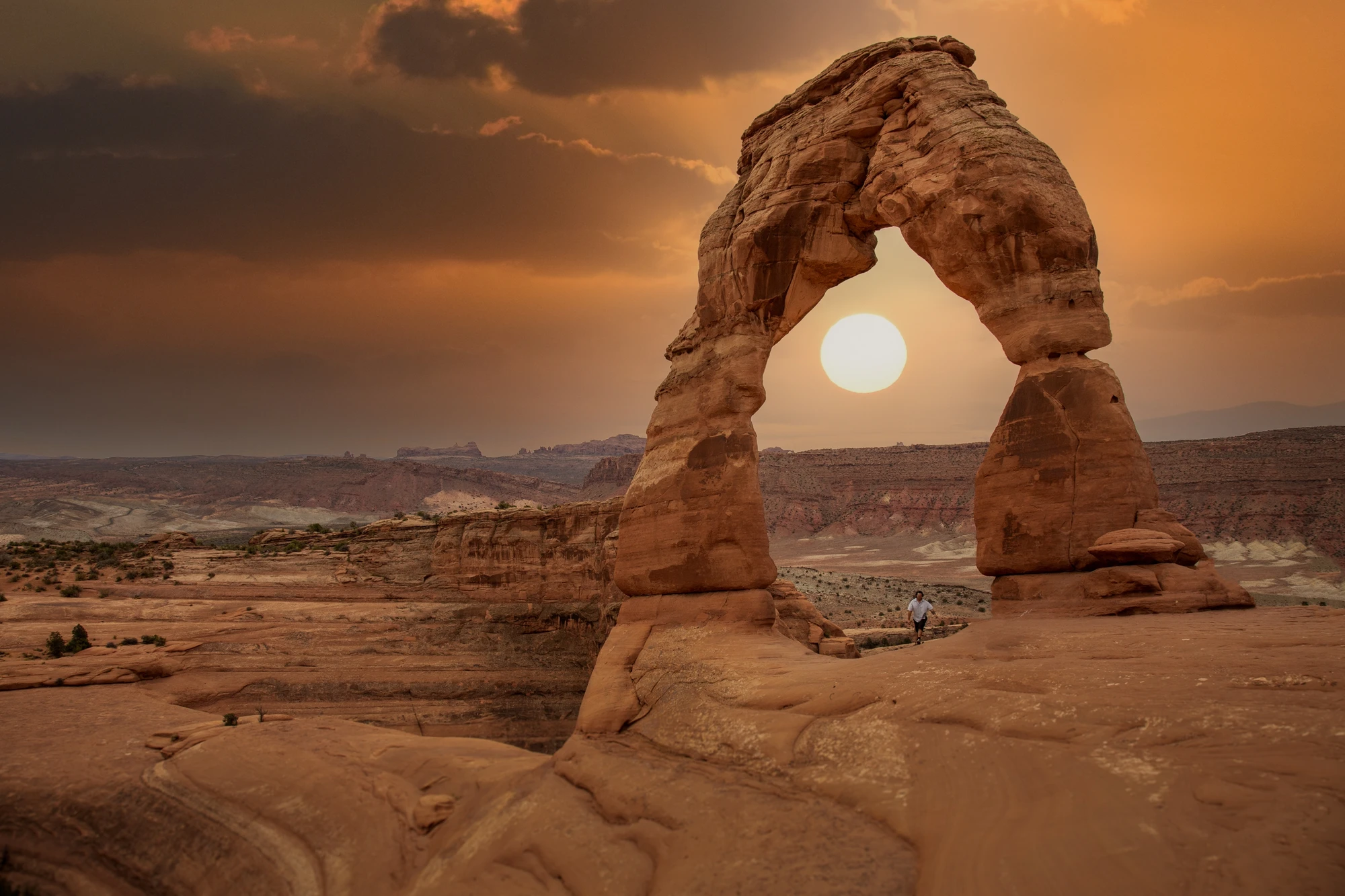
ATTRACTION
Moab, Utah, United States
Explore this place ↗
ATTRACTION
Cataract Canyon
Explore this place ↗
ATTRACTION
Corona Arch, Moab, Utah, USA
Explore this place ↗
ATTRACTION
Sand Flats Recreation Area
Explore this place ↗
ATTRACTION
Fisher Towers, Moab, Utah, United States
Explore this place ↗
ATTRACTION
Utah Scenic Byway 279 Rock Art Sites
Explore this place ↗
ATTRACTION
Hell's Revenge Trail, Moab, Utah, USA
Explore this place ↗
ATTRACTION
Mill Canyon Dinosaur Trail
Explore this place ↗
ATTRACTION
Moab, Utah, USA
Explore this place ↗
ATTRACTION
Dead Horse Point State Park, Moab, Utah, United States
Explore this place ↗
ATTRACTION
Westwater Canyon
Explore this place ↗
ATTRACTION
Moab
Explore this place ↗
ATTRACTION
Canyonlands National Park
Explore this place ↗THE GOOD STUFF STARTS HERE
Experiences in Moab.

Moab, United States
Raven's Rim Red Rock Challenge: Moab Via Ferrata, Ropes & Bridge Jump
from $179USD

Moab, United States
Edge of Canyonlands Helicopter Tour — Island in the Sky Aerial Flight (45 min)
from $598USD
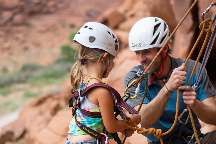
Moab, United States
Half-Day Rock Climbing in Moab: Beginner to Advanced Sandstone Routes
from $200USD
Read our guide →Booking unavailable


Moab, United States
Full-Day Fisher Towers Rafting from Moab: Family-Friendly Colorado River Whitewater
from $165USD
Read our guide →Booking unavailable

Moab, United States
Moab Half-Day Colorado River Rafting Through the Fisher Towers
from $115USD
Read our guide →Booking unavailable
Listed starting prices may vary by option, travel date and group size. Confirm the final total and availability on Viator. Sponsored links: we may earn a commission from qualifying bookings.
GET TO KNOW THE PLACE
Why Visit the La Sal Mountains
Stand on a La Sal ridge and the desert below suddenly feels tamed; the mountains hold cool air, lodgepole pines, and lakes that reflect cliffs like mirrors. This is where high alpine terrain nudges into redrock country, giving hikers, riders, and skiers an abrupt and intoxicating change of pace within minutes of Moab.
Geology here reads like an abbreviated textbook: once-high tectonic uplift carved peaks that glaciers later smoothed into bowls and lakes. The range is a counterpoint to the Colorado Plateau—granite and sedimentary shelves meet fir and aspen. Those geologic contrasts create quick transitions in vegetation, trail difficulty, and scenery; you can hike through sagebrush at lower elevations and be under an aspen canopy before lunch. The mountains have long been home to Indigenous peoples and later ranching communities; remnants of human use show in pastoral roads and historic cabins, which give context to the wildness rather than dilute it.
Culturally, the La Sals are a working landscape and a recreational refuge. Locals treat the range as both resource and playground—ranch gates, seasonal grazing, and forest-management access roads are part of the reality. Plan your visit with that in mind: check road conditions, respect private property, and expect variable cell service. Timing matters: early summer brings wildflower meadows and accessible high routes, while autumn autumnal color draws photographers. Weather can change quickly; afternoon thunderstorms in summer roll in and out, so aim for pre-noon summits and leave time to descend.
Practically speaking, Moab acts as your logistics hub. Drive time to common La Sal trailheads is measured in minutes to an hour, depending on the route and road surface. If you have limited days, prioritize an alpine-lake ridge hike for dramatic payoff, or pick a single technical bike loop if you want flow and distance. For multi-day trips, plan camps or cabins at elevation to avoid heat and catch sunrise. Carry an offline map, water treatment, and layered clothing—these mountains will test gear more than a desert stroll. With measured planning you can stack trails, scenic drives, and river time into an efficient, varied itinerary.
PLAN YOUR VISIT
When to go.
Best months
April, May, June, September, October
Weather
Spring and fall bring clear, cool hiking conditions at higher elevations while summer offers warm days below with possible afternoon thunderstorms; winters bring snow that opens backcountry-ski opportunities but can close some roads.
Peak season
The busiest months are spring and fall when Moab draws desert visitors and the La Sals provide cooler escapes; plan to start early and book lodging and guided activities well in advance.
Beyond the peak
Winter offers solitude and skiing; you’ll find fewer crowds and lower rates but need winter gear and snow-capable vehicles. Be mindful of icy roads and avalanche risk on steep slopes.
PACK WITH PURPOSE
What to bring.
optional
- Binoculars for wildlife and scenery
- Action camera or wide-angle lens
- Compact picnic kit
essential
- Layered clothing for large temperature swings
- 2–3 liters of water plus purification method
- Sturdy traction footwear (hiking boots or bike shoes)
- Sun protection (hat, sunscreen, sunglasses)
- Offline map or GPS with routes preloaded
recommended
- Light rain/wind shell
- Headlamp with extra batteries
- Trekking poles for steep descents
- Dry bag or protective case for electronics
FIND YOUR PACE
Choose your kind of adventure.
advanced
Technical ascents, route-finding in mixed terrain, and winter backcountry travel suited to experienced outdoorspeople.
- Technical ridge routes and alpine scrambling
- Backcountry ski tours and avalanche-aware descents
- Multi-day cross-country traverses with route-finding
beginner
Accessible adventures for those new to alpine terrain, focusing on short hikes and mellow routes with big views.
- Easy alpine-lake day hikes with gradual elevation gain
- Scenic drives into lower La Sal foothills
- Guided half-day nature walks or interpretive hikes
intermediate
Longer hikes and singletrack mountain-biking that require fitness and basic navigation skills.
- All-day ridge hikes with moderate scrambling
- Forest singletrack mountain-bike loops
- Multi-lake day tours combining trail and gravel-road sections
BEFORE YOU GO
Your questions, answered.
Do I need a guide to explore the La Sal Mountains?
No—day hiking and many bike routes are accessible independently—but guides are recommended for technical climbs, winter backcountry skiing, or if you prefer logistics handled for multi-day trips.
How long should I plan for a meaningful visit?
Two to four days allows a ridge hike, a scenic drive into the range, and a half-day in Moab for river or rock activities; single-day trips can still deliver alpine lakes and great views.
What are the main safety concerns?
Changing weather, quick afternoon storms, steep terrain, and limited cell coverage; carry layers, extra water, a map, and tell someone your plan.
Can I mountain-bike in the La Sals?
Yes—there are forest and high-country singletrack and doubletrack options; check local trail-use rules and consider a shuttle for longer descents.
Are permits required for backcountry camping or guided trips?
Some overnight areas and commercial guided activities may require permits or registration; verify with Manti-La Sal National Forest and any guide operator before travel.
How do I get to La Sal trailheads from Moab?
Most trailheads are a short drive from Moab via paved or well-maintained county roads; a higher-clearance vehicle can be helpful for more remote access points.